
Highland Park ZIP Coverage
Current official evidence makes 60035 the primary Highland Park postal identity. Other codes appear because a neighboring delivery area touches the city, Census geography overlaps the incorporated place, or an older routing document preserved a former association. The Highland Park ZIP code directory keeps those roles separate rather than treating every number as current citywide coverage.
| ZIP or ZCTA | Area associated | Post office | How to interpret it |
|---|---|---|---|
| 60035 | Primary Highland Park routes, including Ravinia-area postal identity | Highland Park | Core current mailing code; verify the full address |
| 60037 | Legacy route association | Realigned to Highland Park 60035 | Historical clue, not broad current coverage |
| 60040 | Highwood and nearby Census overlap | Highwood | Does not by itself place an address inside Highland Park |
| 60015 | Deerfield-area ZIP and intersecting ZCTA | Deerfield area | Statistical overlap requires address verification |
| 60069 | Older routing association | Legacy material only | Do not treat as current Highland Park coverage |
A ZCTA is the Census Bureau's statistical approximation of a ZIP area. It is not the Postal Service delivery boundary. The distinction matters because a profile can show geographic overlap without proving that a given envelope should use Highland Park as its city.
Highland Park ZIP Postal Anchor
The Highland Park Post Office is at 833 Central Avenue, Highland Park, IL 60035-3266, and its listed phone is 847-433-3201. This official listing anchors the primary code, but it does not replace a full address lookup. The correct ZIP+4 depends on the delivery point.
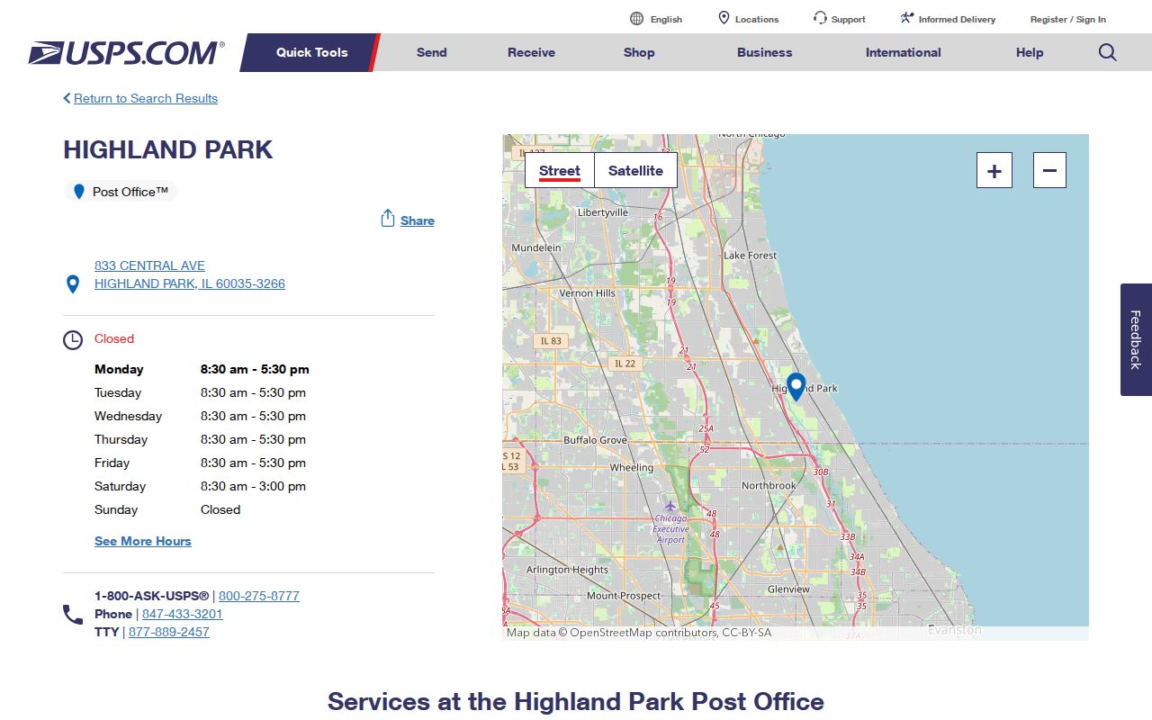
The station page confirms the facility and postal identity. Use the USPS address tool for a house, business, or unit instead of extending the station's code by assumption.
The Highland Park ZIP code directory also needs a nearby comparison point. Postal city labels are built for delivery. They do not decide the municipal government, school district, or tax district serving a parcel.
Highwood ZIP Beside Highland Park
Highwood sits immediately beside Highland Park and uses 60040. The Highwood Post Office is at 130 Highwood Avenue, Highwood, IL 60040-1540. Census geography may touch the Highland Park place, but the postal code alone does not move a Highwood address into Highland Park city limits.
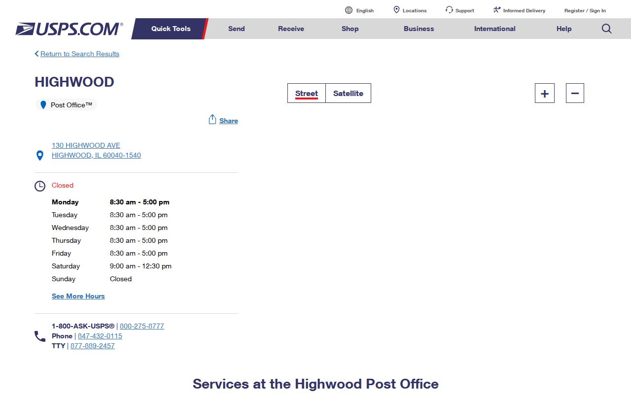
The station listing gives a firm postal reference for 60040. When a record carries that code, check its parcel municipality and delivery city before calling it a Highland Park address.
Highland Park's 60037 Realignment
An official 2017 USPS Postal Bulletin shows 60037 realigned or routed to Highland Park 60035. That makes 60037 a useful historical search term in older files. It does not make the code a current universal residential ZIP for the city.
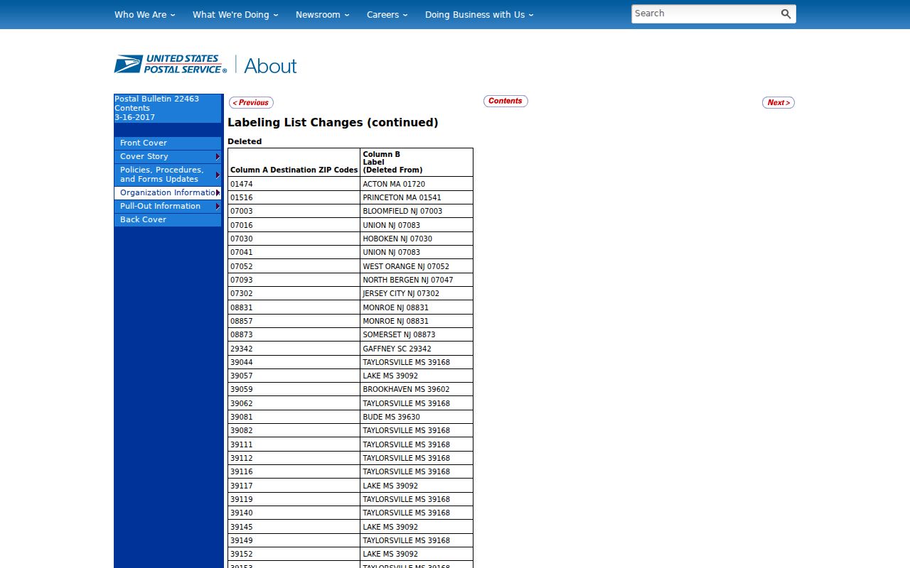
The bulletin preserves the reason an old database, label, or family paper may pair Highland Park with 60037. Keep the publication date with the evidence and verify the modern address through USPS.
This is a good example of why historical routing belongs in its own field. Replacing every old code with 60035 would erase the wording needed to find the original record.
Search Highland Park Residents by ZIP
ZIP filtering narrows a large source, but each portal uses the field differently. The Lake County assessor can filter parcels by ZIP. Voter Power asks for ZIP as one authentication detail for a known individual and does not reveal a ZIP-wide voter roster. The recorder searches instruments and legal descriptions, not postal delivery routes.
- Verify the complete mailing address with the USPS ZIP Lookup.
- Enter the ZIP in the Lake County assessor only when a broad parcel filter is appropriate.
- Add municipality or street in Advanced Search to reduce neighboring and mailing-address noise.
- Open the parcel card and compare situs city, taxpayer mailing address, and PIN.
- Use county GIS to check the municipal boundary, then move to the Highland Park street directory for address-level work.
The result should be described as a parcel or record linked to that code, not as a list of people living there. Owners can receive tax mail elsewhere, and one parcel can be public land or common space.
Highland Park ZIP Search Fields
The Lake County property tools supply the strongest official ZIP-aware search. Basic Search says to use one primary key at a time. Advanced Search supports several criteria, which is better for separating 60035 parcels from a neighboring municipality or a taxpayer mailing address.
| Field | Tool | How it helps | Important limit |
|---|---|---|---|
| ZIP Code | Assessor Basic Search | Filters the property roll by code | One primary key is recommended |
| ZIP plus municipality | Assessor Advanced Search | Separates postal and city criteria | Tax data is not a household roster |
| Street or owner | Assessor Advanced Search | Narrows a broad ZIP result | Owner may not occupy the site |
| PIN, address, or place | Tax Parcel Viewer | Maps the selected parcel and nearby line | GIS does not certify mail delivery |
| Name, house number, ZIP, birth date | Voter Power | Confirms an individual's own record | No ZIP-wide browsing |
The assessor's taxpayer mailing address and the parcel's situs address must remain separate. Situs means the physical parcel location. A mailing field tells where tax notices go, and it may be outside Highland Park.
Highland Park ZIP and City Limits
Highland Park grew through annexations, including Ravinia and Fort Sheridan-area development. The city covers about 12.25 square miles in the cited municipal budget, but no postal rule promises to trace that border. County GIS, the city's planning records, USPS delivery data, and Census geography can all draw different lines because each system serves a different task.
The Lake County municipality page supplies the governmental frame.
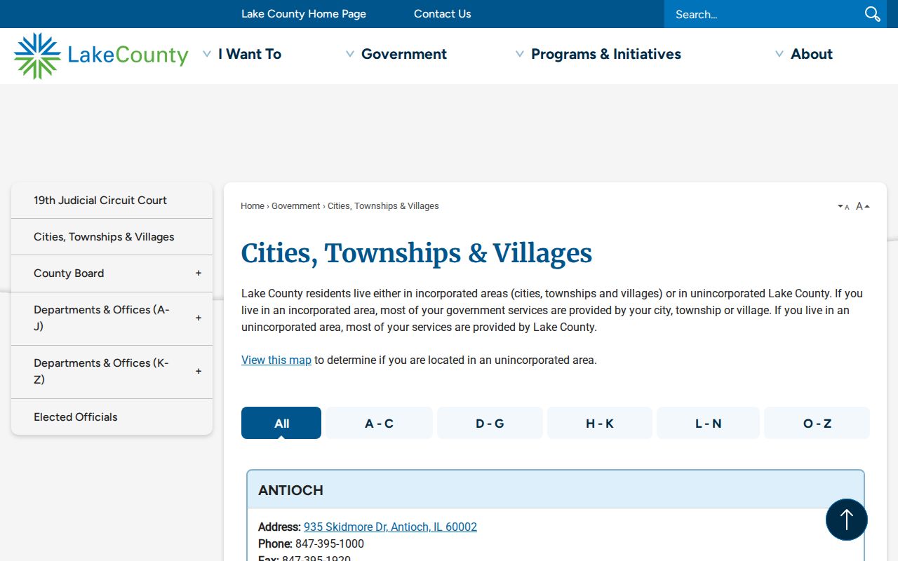
Use the municipality source for city identity, USPS for the envelope, and GIS for the parcel. Agreement among all three is stronger than a ZIP-only match.
- ZIP Code
- A Postal Service routing code attached to mail delivery.
- ZIP+4
- The base code plus four digits that narrow the delivery segment.
- ZCTA
- A Census statistical area designed to approximate ZIP geography.
- Carrier route
- A delivery path within a postal area, not a city boundary.
- PO-box or unique ZIP
- A code serving boxes or a specific large recipient rather than a broad neighborhood.
Read Highland Park Address Types
Five address concepts often appear together. The situs address identifies the parcel. The taxpayer mailing address routes a bill. A deed's legal description identifies land through lot, block, subdivision, section, or other legal terms. The postal city and code guide mail. Census place and ZCTA support statistics. None should silently replace another.
- Use USPS when the question is what belongs on an envelope.
- Use assessor and GIS when the question is where a parcel sits.
- Use a recorded deed or plat for the controlling land description.
- Use municipal maps for incorporated city limits.
- Use Census ZCTAs only for statistical context.
A parcel identifier, or PIN, is not a street number. Subdivision, consolidation, condominium common areas, rights-of-way, and later address assignments can make one historic site map to more than one current record.
Note: Keep each address field under its source label so a mailing code is not mistaken for a parcel location.
Highland Park ZIP Overlap Myth
The strongest local misconception is that any 60015 or 60040 overlap on a Census profile proves a Highland Park city address. It does not. Census data for Highland Park intersects ZCTAs 60015, 60035, and 60040, while USPS evidence still makes 60035 the primary city mailing code. Statistical overlap describes geography; delivery data describes mail.
Older material may also mention 60069 beside Highland Park-related routes. Keep it as a historic search lead only. No current official USPS residential list was found that supports broad 60069 Highland Park coverage. The same caution applies to 60037 after its documented realignment.
The Highland Park ZIP code directory is most accurate when it preserves uncertainty. A “verify” note is more useful than forcing a legacy or statistical code into a current city boundary.